Pinnacles National Monument / Pinnacles National Park
Pinnacles National Monument, Now Known As Pinnacles National Park
Pinnacles National Monument is one of Central California’s hidden treasures. It has opportunity for many outdoor recreation activities – hiking, climbing, birding and more.
In January 2013 – The Pinnacles was officially designated as a National Park! It became the nation’s 59th park and will be henceforth known as Pinnacles National Park.
The Pinnacles is not well known as it is somewhat off the beaten path. It’s located in the Gabilan mountain range east of Soledad and Highway 101.

Hiking In The Pinnacles National Park
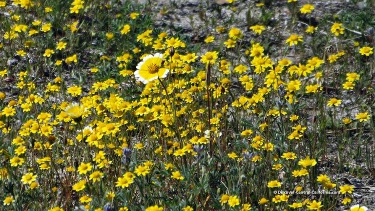
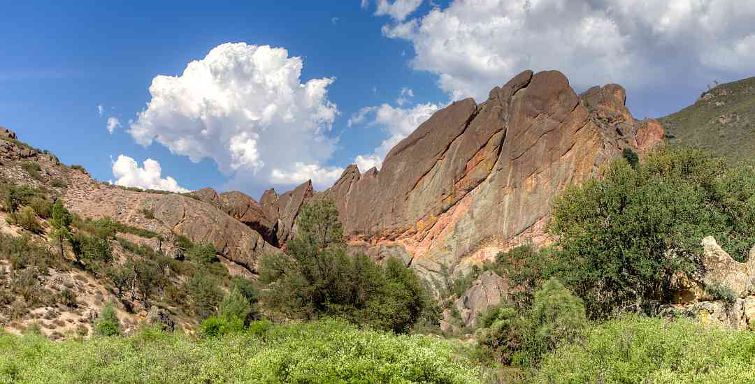
As you can see from the photos, it has spectacular scenery. It also has great hiking, rock-climbing, camping and is full of interesting plant and wildlife.
The strenuousness of the hikes range from easy to difficult and some pass through caves formed by boulders falling and forming a roof over narrow passes.

Check out this page from the National Park Service about what to expect if you visit the Pinnacles, including hours of operation, alerts and particulars about camping.
Some of the areas, such as the talus cave, are closed for a time to allow bats to breed.

The origin of the Pinnacles
The Pinnacles was originally a part of a volcanic area (Neenach volcano) in southern California near Lancaster.
The San Andreas Fault split this area and transported the section here in Central California nearly 200 miles north to where it is today.
The fault itself has shifted over time and is found about 4 miles to the east of the Pinnacles along Highway 25.
Other Things of Beauty at the Pinnacles


How to get to the Pinnacles National Park
Driving directions for the Pinnacles
As I said, the Pinnacles is off the beaten path and you don’t just get there by accident.There are two “sides” – western and eastern, both of them accessed by Highway 146, and the highway doesn’t connect in the middle.

West side access:
Take Highway 101 to the town of Soledad and then proceed on Highway 146 east about 14 miles to Pinnacles NM.

East side access:
Coming from the north on Highway 25
Highway 101 south through Gilroy; exit at Highway 25 and continue south 12 miles to Hollister and then continue on Highway 25 south 30 miles. Turn right onto Highway 146 and then just a ways to the Pinnacles Visitor Center at the campground.
Coming from the south on Highway 25
Highway 101 north, exit at King City First Street exit turning right toward King City. Follow 1.5 miles and First Street will turn right and becomes Monterey County G 13 (also known as Bitterwater Road).
 Stay on G 13 about 15 miles. It will intersect with Highway 25. Turn left onto Highway 25 and continue north another 15 miles and turn left onto Highway 146 to the Visitor Center. Told ya it wasn’t easy – but it is worth it. The drives alone are some of my favorites in Central California. Be sure to follow my tips for backroad driving before you head there.

Pinnacles National Park is the 59th and newest of the parks in the National Park system. Camping, hiking and wildlife are definitely common themes found at all of the parks in the country.