Shell Creek Road Wildflowers: The Wildflower Super Bloom Spot In Central California In 2026
Shell Creek Road
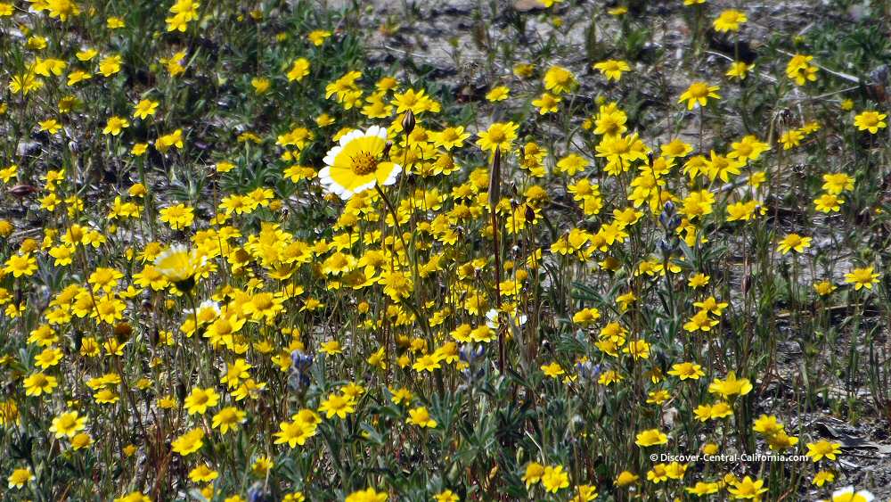
Shell Creek Road has a well-deserved reputation for being one of the best spots to view glorious displays of springtime wildflowers in Central California. This year – 2026, may become a great year to see a Super Bloom of wildflowers around Shell Creek Road.
Not every year is wonderful however. But even in times of drought, the drive is scenic, very pretty and provides a good view of many of the varied habitats that are found on the Central Coast.

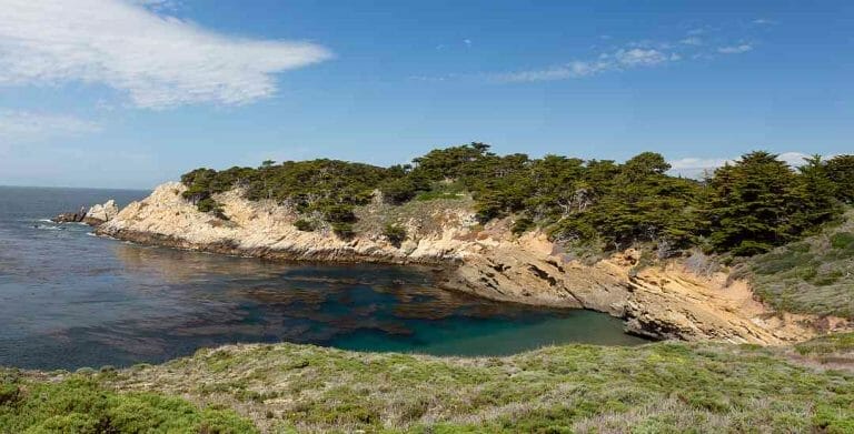
Shell Creek Canyon is located about 25 miles southeast of Paso Robles near the eastern edge of San Luis Obispo County.
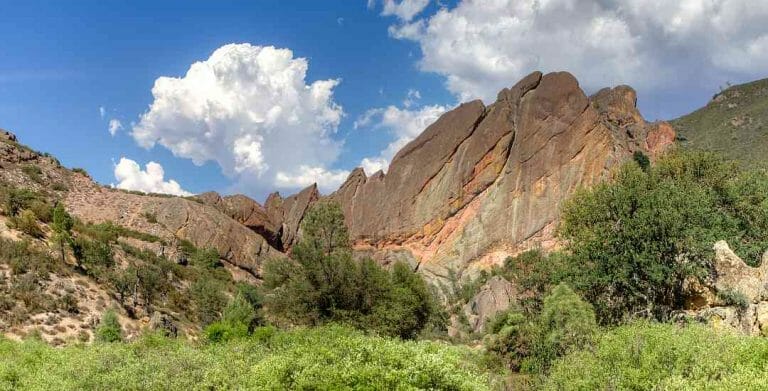
Named for the many fossilized shells that are found in the exposed strata of the bordering hills, this area is famous for another reason – spectacular springtime wildflower displays.
The picture below is from a previous year and was generously provided to us by one of our readers, Parker Lefton.

Shell Creek Road Quick Facts:
- Location: Northeastern San Luis Obispo County. South of Shandon; South of Highway 41 and north of Highway 58.
- Length: Approximately 10 miles from San Juan Road to Highway 58.
- Elevation: Mostly level; 1175′ at northern end to 1375′ at Highway 58.
- Condition: Paved and narrow rural road in good condition; open range cattle grazing on the southern 6 miles. That means cattle can be in the road; be alert.
- GPS Coordinates: General area for best wildflower viewing: 35.4843, -120.3292
- Best time for wildflowers: Dependent upon rainfall and other factors, but generally March through April.
- Considerations: Remember, this is all privately held land on either side of the road. There are signs at either end of the wildflower area that read: “Avenales Wildlife Area – Private Property – No Trespassing”.
- Google Map for Shell Creek (opens in new window or tab)
- Other Resources: Santa Margarita Wildflower Festival.
The road is interesting as a back road drive for more than wildflowers. At the northern end of the road and along San Juan Road, there is a good deal of agriculture in the valley bottoms. Lettuce of various kinds, onions and sometimes strawberries can be seen growing here.
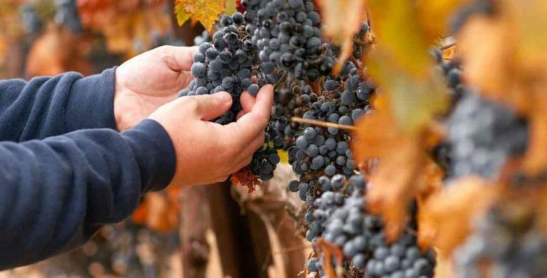
There are many acres of vineyards planted here as well. There are no tasting rooms, however until you get to either Paso Robles or Santa Margarita.
When this area was first settled in the nineteenth century, its main use was cattle ranching. And quite a bit of that remains to this day as the hills are unsuitable for most agriculture.


The southern end of Shell Creek intersects with Highway 58, also known as the “Carrisa Highway”. This road heads east to the Carrizo Plains National Monument. There are numerous variant spellings: carrisa, carrissa, and carriza among others. All of them refer to the same place.